

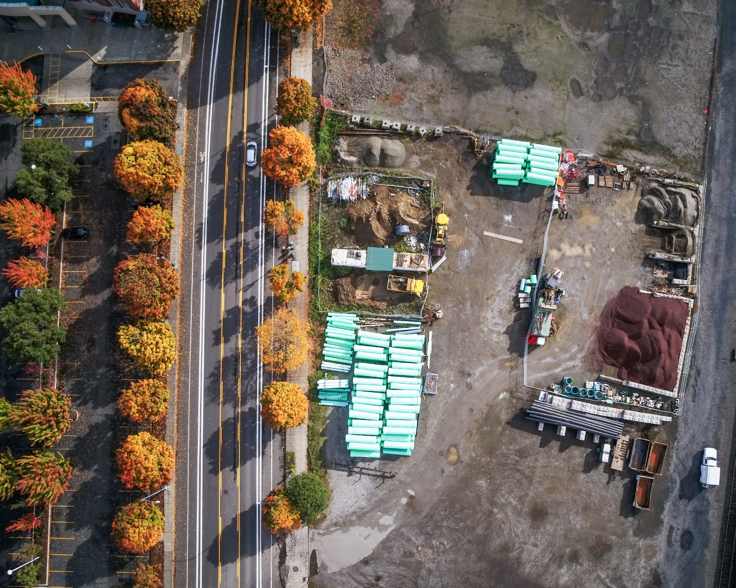
See the big picture
Survey, track, map, and manage your construction site with Hovrtek drone maps, 3D models, and photos. We acquire and process key data and imagery that allows stakeholders and project managers to make informed decisions concerning their projects.
Hovrtek drone operators are insured, FAA licensed, and hold all the necessary permits to get the job done safely and legally.
Submit realistic bids and estimates with accurate visual site documentation.
Get in touch with us today to see how we can help!
Click forFree Consultation
Allocation of drone use in construction
Risk mitigation
Bid process
Quality control
Site planning
Progress tracking
“Drone imagery and data collection allows for more precise information, faster decisions, and a safer job site than putting feet on the ground, and much less expensive than hiring a helicopter. ”
Drone Construction areas
Transform your construction projects with the power of drones. Take advantage of construction drone services that capture aerial imagery from a variety of angles and distances and move your project to the next level. Leverage fast scheduling and rapid turnaround to impart greater agility.
Showcase your Project
Communicate your project story from start to finish with an exciting array of drone photos and videos and highlight successes from many perspectives
Monitor Project Progress
Capture project progress snapshots through recurring aerial drone photos and videos taken on a daily, weekly, monthly, or yearly basis
Collect Construction Data
Collect detailed project data from up close and from a distance for progress tracking and to present project details to all
Communicate with Stakeholders
Paint the picture of the project and its progress through visual imagery that creates a powerful impact for marketing
services provided
Transform your business with cost-effective drone images, video, and data that provide an entirely new perspective and change the game.
Schedule a Consultation
Let us know a little more about your project and we will be in touch soon!