

About Hovrtek
Hovrtek specializes in capturing professional grade data and imagery with sUAS (Small Unmanned Aircraft Systems). Look to us for roof inspections, property inspections, facade inspections, project/construction monitoring, commercial marketing and more. We are constantly exploring ways to help our clients save time and money with software and drones. All our our pilots are FAA licensed and insured to complete aerial missions.
Get in touch with us today to see how we can help!
Industries Served
Hovrtek provides aerial data collection and imagery with drones to media, construction, real estate, and energy industries. We capture, analyze, and deliver information that helps our clients to make profitable and sustainable decisions.
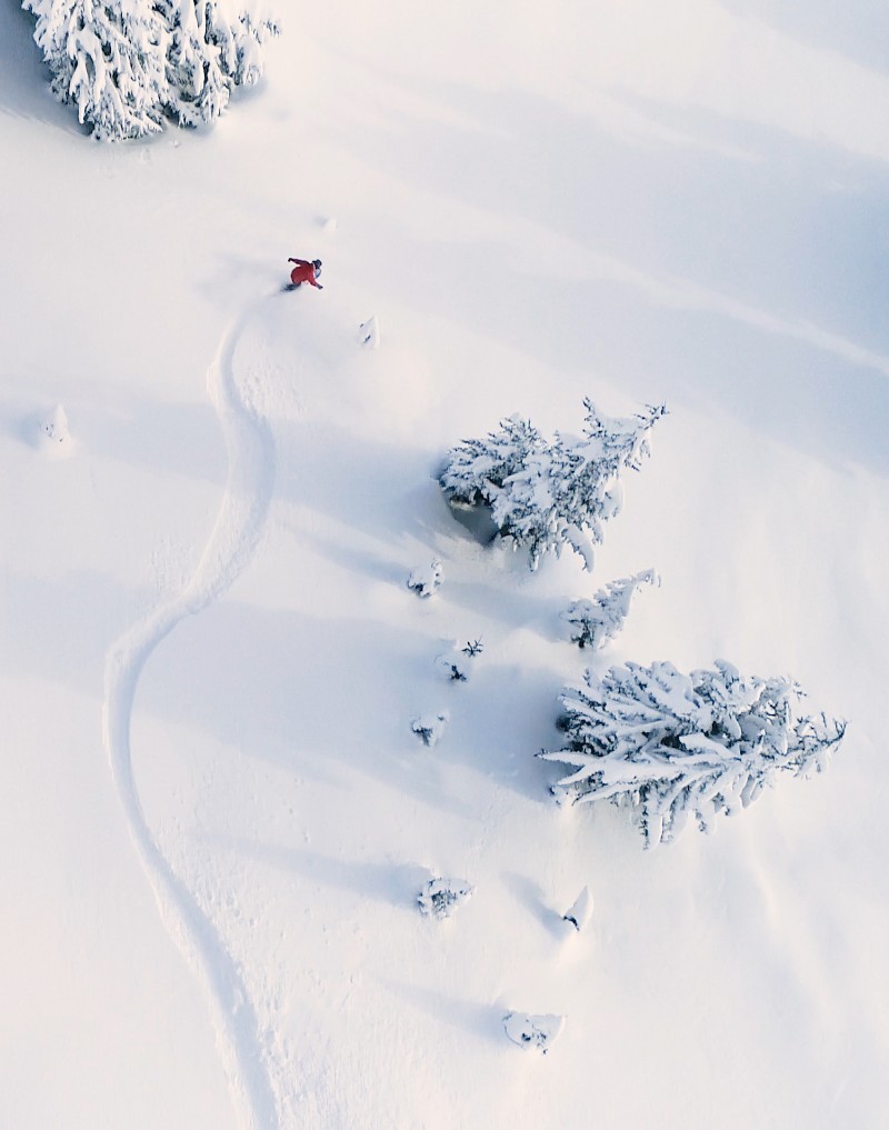
Media
Aerial cinematography for broadcast, documentaries, narrative film, events, and sports.
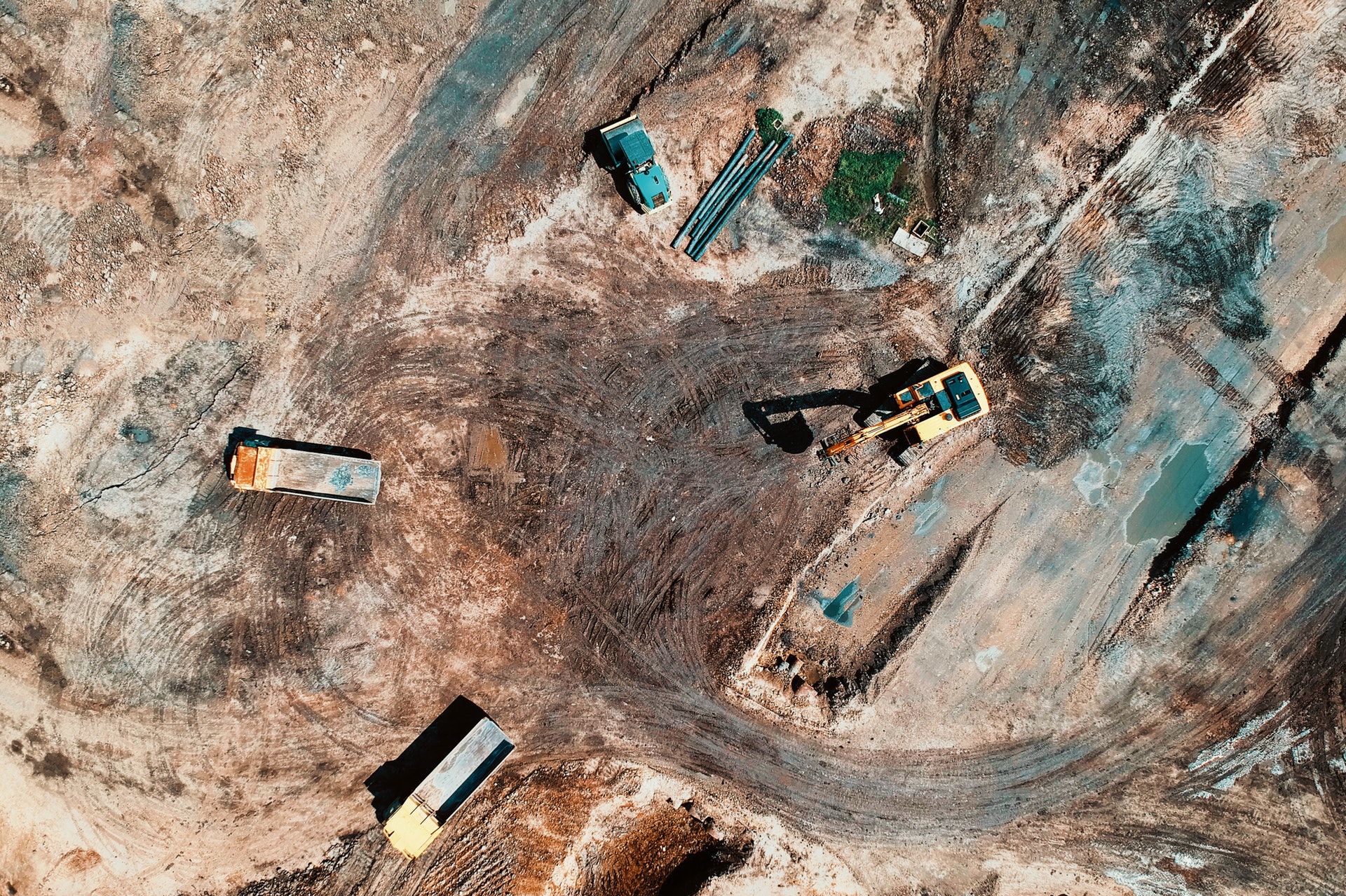
Construction
Survey, track, map, and manage your construction site with Hovrtek drone maps, 3D models, and photos.
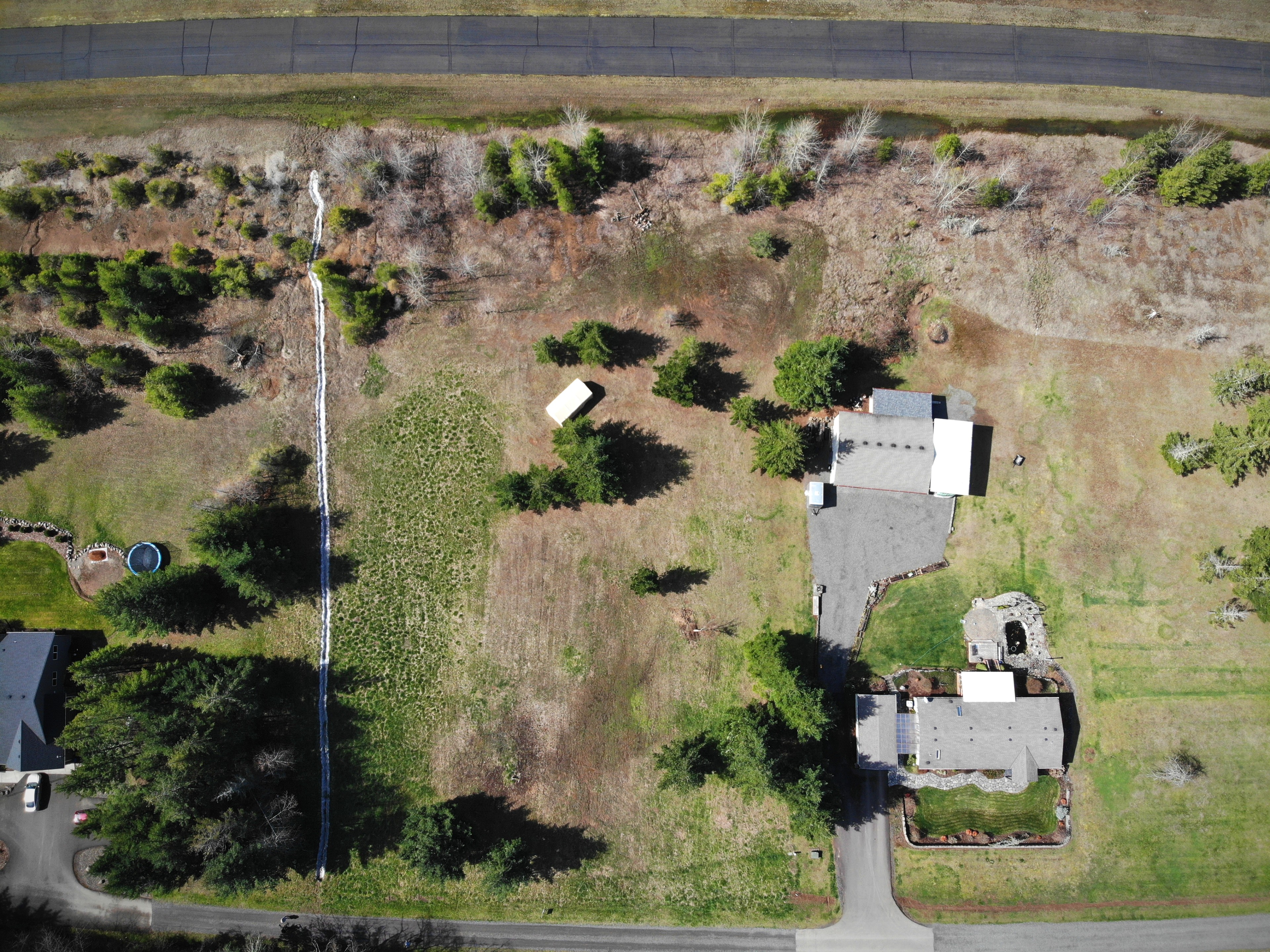
Real Estate
Sell faster when you enhance your listings with professional aerial photos and video of your properties.
Energy
Use drones for solar surveying, panel installation mapping, and aerial infrared imaging for inspections.
Agriculture
Increase yield and reduce costs with drone collected images and data. Actionable reports on farming.
Why Hovrtek
We take the pain out of adopting drone technology
Licensed
Our pilots are licensed, insured, and up to date with the latest FAA rules and regulations, and have completed in-house training.Knowledgable
Our team is out in the field everyday testing new drone technology and software so that we can pass that knowledge on to our clients.Quality
We understand that every business is unique and ensure that we match the right pilot with our clients' specific objectives.services provided
Transform your business with cost-effective drone images, video, and data that provide an entirely new perspective and change the game.
Drone Video & Photography
Choose the right package for your project*
Drone Photo
FAA licensed and insured drone operator
6-12 aerial photos from different angles and elevations
In-house photo editing
2-3 day turn-around
Book Now
Drone Photo & Video
FAA licensed and insured drone operator
1-3 minutes of aerial video
Edited video with music
6-12 aerial photos from different angles and elevations.
In-house photo editing
3-5 day turn-around
Book Now
Drone Video
FAA licensed and insured drone operator
1-3 minutes of aerial video showcasing the entire property
Edited video with music
3-4 day turn-around
Book Now
*You will not be billed until until after we confirm location and time of shoot with you. Additional charges may be applied depending on property size, location, and flight restrictions.
Schedule a Consultation
Let us know a little more about your project and we will be in touch soon!