

Drone Maps and Models for Solar
Efficiency is paramount to seeing success in the solar industry. Increase your comapany's safety and maximize productivity with drone maps and models.
Hovrtek drone operators are insured, FAA licensed, and hold all the necessary permits to get the job done safely and legally.
- Generate digital terrain models and to bid accurately and quickly on land.
- Track and visualize the construction process with recurring project monitoring missions.
Get in touch with us today to see how we can help!
Click forFree Consultation
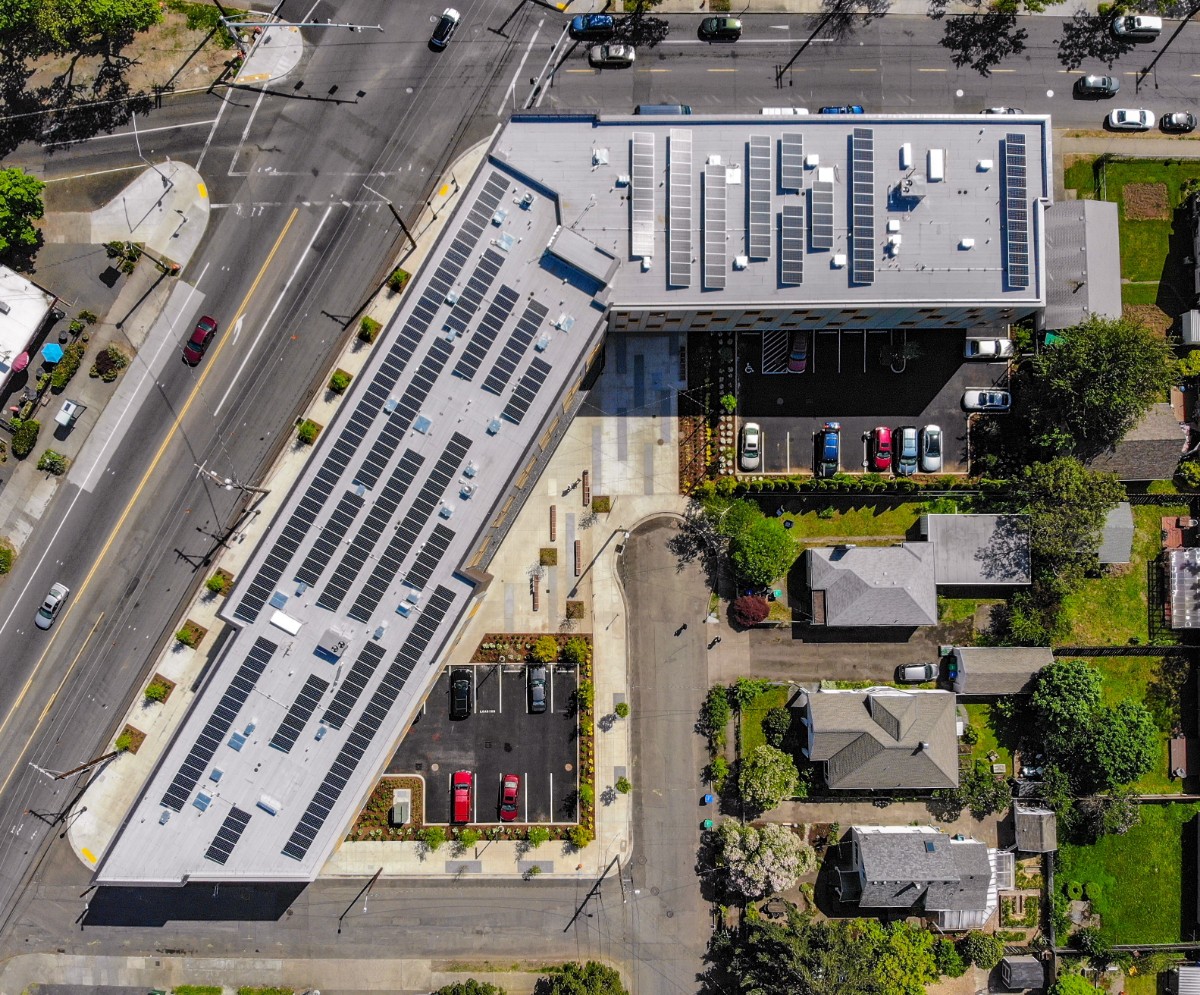
How drones are used in solar
Bid process
Site planning
Progress tracking
Inspections & Maintenance
“Our services and solutions are designed to scale with the demands of high growth clients. ”
Schedule a Consultation
Let us know a little more about your project and we will be in touch soon!