

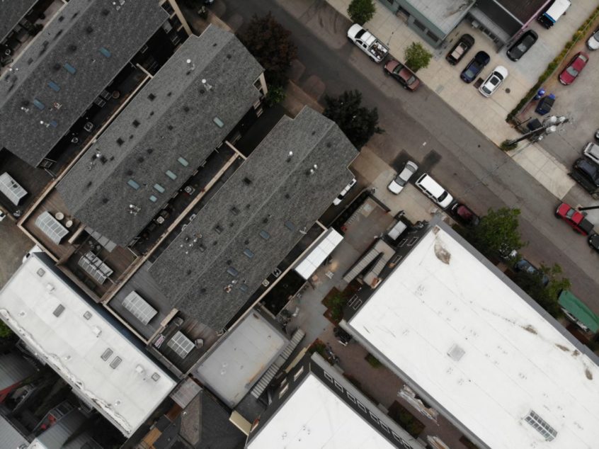
There used to be a time when the only way to examine roofs was to send an inspector on the roof to manually scrutinize the surface and detect flaws. This was clearly a time-consuming and safety challenged way of doing it. Today with drones, digital transformation has arrived in the property management industry by enabling inspections at scale through automated drone flights, data capture, and analytics. Drones can be in the air in a matter of minutes and automatically capture the data and analytics to estimate for repairs, measure for replacement, create takeoffs, and track roof deficiencies – while keeping boots at ground level.
When multiple properties need to be managed and maintained, a drone property inspections program would be a game changer. By creating a digital model or a digital twin of properties, facilities, and roof assets, it becomes possible to ensure that construction is as per specification and that repairs are made in a planned, proactive manner. Prioritization of limited budgetary resources on a risk and return based calculation becomes a reality, driving fully informed decision making.
There is also the opportunity to monetize the roof by leasing space for telecom towers or solar panels. A drone inspection helps determine ideal placement of solar panels, discover structural issues, and generate a CAD model of the roof to support system design.
Inspections can be carried out using either specialized or off-the-shelf drones along with the appropriate software application. Typical inspection steps would include:
- Creation of the drone flight plan.
- Launch and control of drones on their flight path.
- Automatic collection of images and data.
- Transfer of data to the software application.
- Identification of defects and flaws in the structure.
- Creation of detailed analytics and reports for decision making.
Turning drone data into business intelligence is a significant step, meriting additional discussion. This involves:
- Processing the data into a cohesive data set.
- Geo-locating and/or measuring the data.
- Analyzing damage and/or flaws detected.
- Tracking data over time to show how it has evolved.
- Comparing the data with similar data sets for benchmarking.
Integrating the data into existing business systems and workflows makes for a more digital, data-oriented company and moves the needle on digital transformation.