

Property managers have always relied on proactive and predictive maintenance to look at trends and patterns and identify lurking maintenance problems early.
But predictive maintenance needs data and lots of it. In the past, getting the data has taken too much time, cost too much, and has been too unsafe. No longer. With aerial data capture through drone property inspections, the process has become much more streamlined. The result is faster property inspections, lower inspection costs, and a data-based view of properties that helps managers quickly see the big picture and drill down into details.
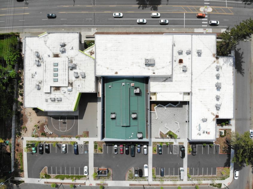
From flying cameras, drones have evolved to an exciting tool for capturing aerial imagery and geospatial data:
- Other sensors can be fitted on the drone for example thermal sensors that detect if heat is coming out.
- Picture resolutions are way higher and can be taken from many different angles in very little time.
- Sensors for auto takeoff and auto landing precisely return the drone to the takeoff point.
- Obstacle avoidance sensors prevent crashes into structures.
- Hover and zoom in enables high quality, close-up pictures.
Benefits include:
Higher Accuracy
Property maintenance is expensive and consumes time and effort. Accuracy and objectivity are therefore paramount in the process. Aerial photos and videos of roofs, HVAC units, and other construction provides speed and accuracy and at a much lower cost with visual data, reports, and insights.
Greater Repeatability
Getting an accurate assessment of property structures may require repeated check-ins over time. It is only then that a pattern can emerge and inform the property manager on next steps. Planned and scheduled drone flights enable a cost effective and fast way of repetitively collecting data over a period time.
Quicker Insights
Drones provide a way to repeatedly capture data and generate insights. Anomalies can be easily observed, and corrective actions quickly taken well in advance.
Increased Speed and Safety
Safe capture of data is a key benefit. No longer do inspectors need to climb on roofs and other structures to observe the state of structures. The drone would instead serve as the eyes of the inspector and allow safe, accurate, and detailed analysis to be done from the comfort of their mobile phones or desktops.
Suffice it to say that with the advent of drones, property inspections will never be the same. Contact Hovrtek to get your drone property inspections started today!